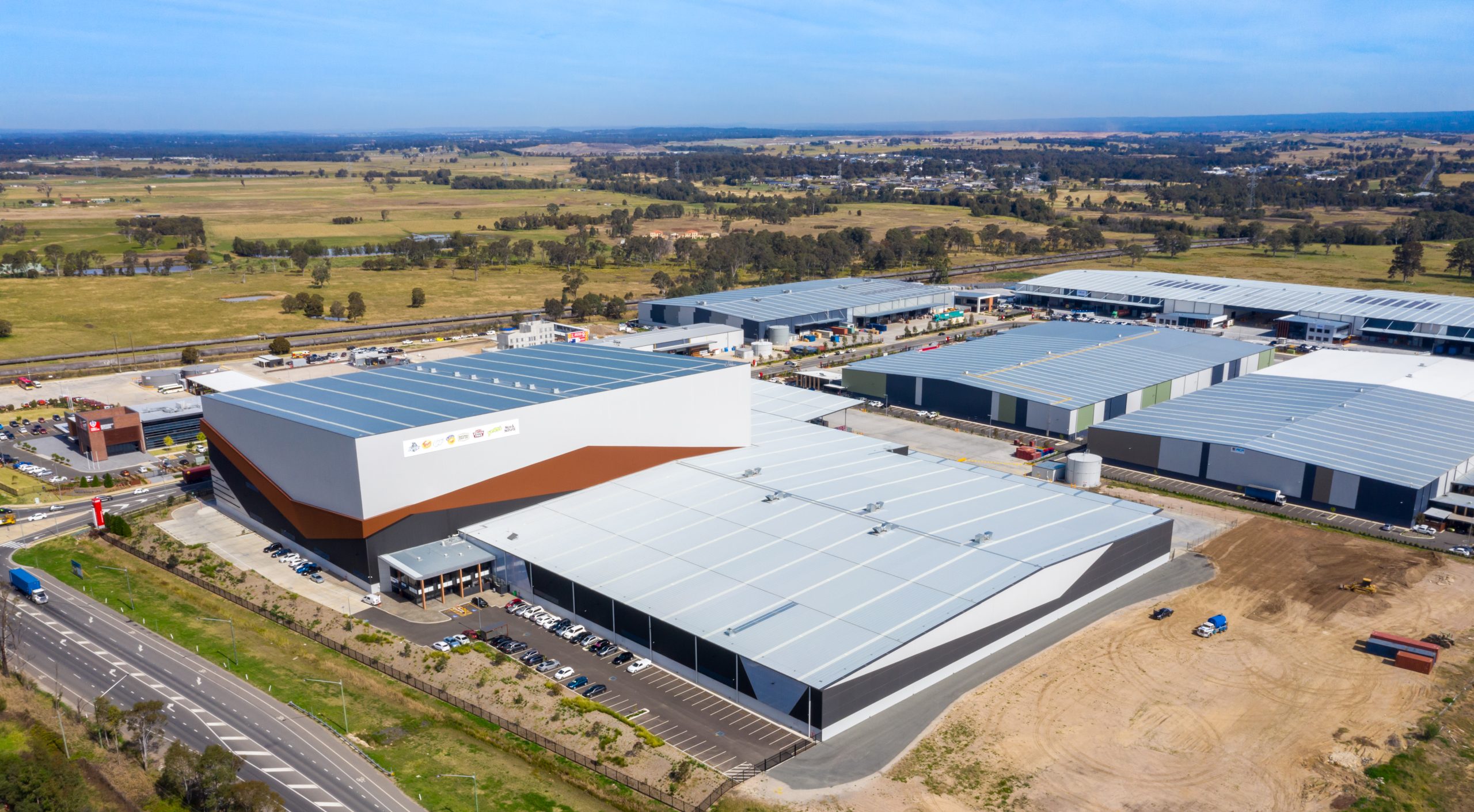
When the NSW Government confirmed Badgerys Creek as the location for Sydney’s much-needed additional airport, it was announced that residents and workers in Western Sydney will benefit from easy access to strong local and international connections and a “24-hour economy” conveniently centred around the new airport facility.

Continuing industrial development within Western Sydney Aerotropolis zone
Strategic planning for greenfield land in close proximity to the new airport, within the zone now defined as the Western Sydney Aerotropolis, is intended to unlock opportunities to deliver new jobs and homes supported by key infrastructure whilst conserving and improving environmentally-sensitive areas and wildlife habitats. The government’s vision for the Aerotropolis includes contributing towards the creation of 200,000 new jobs for Western Sydney and a new “high-skill jobs hub” across aerospace and defence, manufacturing, healthcare, freight and logistics, agribusiness, education, and research industries.
One challenge presented in the practical delivery of facilities and infrastructure needed to realise the Aerotropolis vision is that portions of land available for development within the zone have been classified as flood-affected. However, expert civil engineering practices in accordance with sustainable water management and environmental conservation guidelines can often mitigate the risk of flooding to allow for industrial development and improve the management and quality of water in a broad area surrounding the actual development site. Such improvements have been demonstrated in some areas now deemed to be within the Aerotropolis zone which had been developed for industrial and residential purposes under previous localised guidelines.
The Western Sydney Aerotropolis LUIIP (Land Use and Infrastructure Implementation Plan), released in September 2018, sets out the statutory pathway to be used for development applications within the Aerotropolis zone. There are also individual plans for the nine newly-defined Aerotropolis precincts which are:
- Aerotropolis Core
- Northern Gateway
- South Creek
- North Luddenham
- Rossmore
- Mamre Road
- Kemps Creek
- Badgerys Creek
- Agriculture and Agribusiness Precinct
CRC delivered 2D hydrodynamic (TUFLOW) modelling and assessment, the submission of which contributed to rezoning and development approval for an industrial complex on a flood-affected 43.85 hectare site at 585-649 Mamre Road, Orchard Hills, in the former Mamre West Precinct, for Altis Property Partners (developer) via Hansen Yuncken (project manager), in 2016.

Kemps Creek Warehouse and Logistics Hub development application process
By 2018, when Frasers Property and Altis Property Partners prepared to proceed with an application for the development of the Kemps Creek Warehouse and Logistics Hub at 657-769 Mamre Road, Orchard Hills, the site had become included within the Kemps Creek precinct under the Western Sydney Aerotropolis LUIIP. Some guidelines, references, and benchmarks would differ from previous successful development applications for nearby sites. CRC was engaged by the venture partners to prepare a Civil Engineering Report & Water Cycle Management Strategy (WCMS) to support the necessary State Significant Development (SSD) Application to the Department of Planning and Environment (DP&E), encompassing a formal request for the Secretary’s Environmental Assessment Requirements (SEARs) prepared by town planning consultants, Willowtree Partners. The proposed development would first involve earthworks and infrastructure development across the entire site, carried out in two stages, followed by the construction of warehouse facilities.
The Civil Engineering Report & Water Cycle Management Strategy authored by Mark Wilson, assisted by CRC’s TUFLOW modelling specialist engineer, Mitchell Cross, provided an assessment of the civil engineering characteristics of the development site and technical considerations of earthworks and geotechnical aspects; roads and access; and the WCMS. The WCMS addressed key water cycle management aspects including the stormwater quantity and quality, water supply and re-use, flooding, and erosion and sediment control. Consistent with environmental priorities in contemporary NSW industrial development, the overall environmental considerations relevant to the proposed development were defined in the Willowtree report as including soil and water, noise, air quality, flora and fauna; waste, Aboriginal and historical heritage, traffic and transport, visual amenity and design, infrastructure and services, and socio/economic impacts. The development is intended to contribute to employment opportunities in Western Sydney through an environmentally-sensitive, ‘Six Star’ rated estate and state-of-the-art warehouse and logistics facilities featuring the latest technology.

Validating suitability of 112-hectare site for industrial development
The total site proposed by the JV for development comprises 112 hectares with 1.1km direct frontage to Mamre Road. Predominantly clear of vegetation from historic pastoral use, free of both contamination issues and critical flora/fauna habitat, the site is relatively flat with a <1% slope producing a 4-metre cross-fall from the higher side, along Mamre Road, down towards the western boundary of South Creek and the portion of land identified as flood-affected.
In accordance with the requirements of Penrith City Council and the NSW Floodplain Development Manual, and referencing the Updated South Creek Flood Study¹, the flood assessment by Costin Roe Consulting confirmed that the floor levels of the proposed buildings near South Creek would be set at 1% AEP² flood level plus 500mm freeboard. Costin Roe used MUSIC (the Model for Urban Stormwater Improvement Conceptualisation) for stormwater quality modelling to simulate the performance of proposed stormwater management systems and ensure pollutant retention requirements would be met.
The Civil Engineering Report & Water Cycle Management Strategy by Costin Roe Consulting, including the Overflow Land Reports 1-3, formed part of the 2019 package of reports, plans, and other documents submitted for consideration and decision-making by authorities, and exhibited to the public on the NSW Planning Portal as the Kemps Creek Warehouse, Logistics and Industrial Facilities Hub, a major project for NSW. Approval will facilitate the development of a warehouse, logistics and industrial facilities hub including the construction and operation of nine warehouses comprising 163,671m2 of floor space, 754 parking spaces, and a 33-lot Torrens Title subdivision.
References
¹ Updated South Creek Flood Study (rp6033rg_crt150128-Updated South Creek Flood Study (FINAL – Volume 1)
² AEP stands for the Annual Exceedance Probability – the likelihood of occurrence of a flood of a given size or larger occurring in any one year


